


| Administered by | |
|---|---|
|
|
|
| County | Ulleung County, North Gyeongsang |
| Demographics | |
| Population | 2 + 43 support personnel (in rotation) |
| Ethnic groups | Korean |
t
The Dokdo (독도/獨島, literally "solitary island") in Korean., also known as Liancourt Rocks.
The Franco-English name of the islets derives from Le Liancourt, the name of a French whaling ship which came close to being wrecked on the rocks in 1849.
The islets lie in rich fishing grounds which could also contain large gas deposits.
Recognition of Dokdo and Relevant Historical Evidence
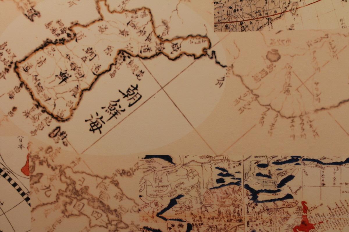
A. Dokdo has been recognized geographically as a part of Ulleungdo.
On
a clear day, Dokdo is visible to the naked eye from Korea Ulleungdo (Ulleung Island), the island which lies in the closest proximity (87.4 km) to Dokdo. Given its geographical location, Dokdo has historically been considered to be a part of Ulleungdo.This
is well evidenced in early Korean documents. For instance, the Joseon (Korean) government publication Sejong Sillok Jiriji (Geography Section of the Annals of King Sejong Reign), 1454, which provides a geographical record of Korean territory, states, 밬san [Dokdo]·Mureung [Ulleungdo] … The two islands are not far apart from each other and thus visible on a clear day.?While
there are numerous adjacent islands around Ulleungdo, Dokdo is the only one visible to the naked eye from Ulleungdo on a clear day.Geography
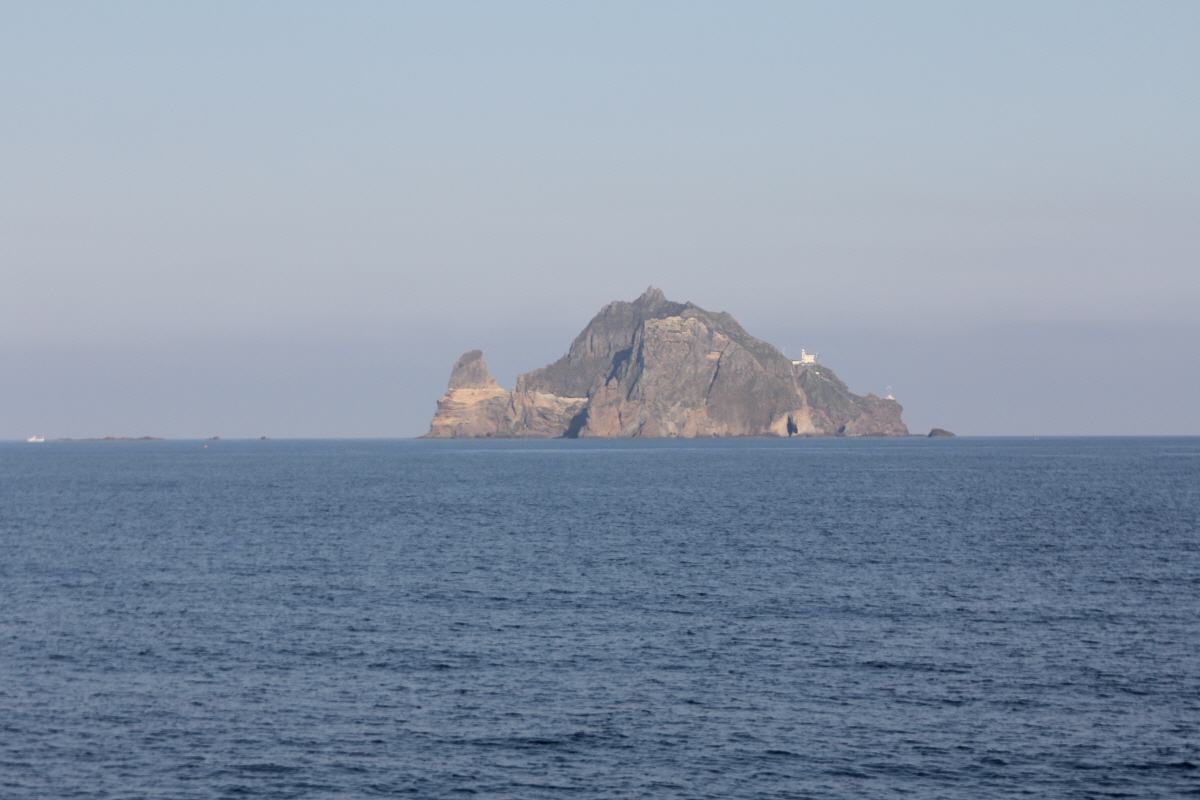
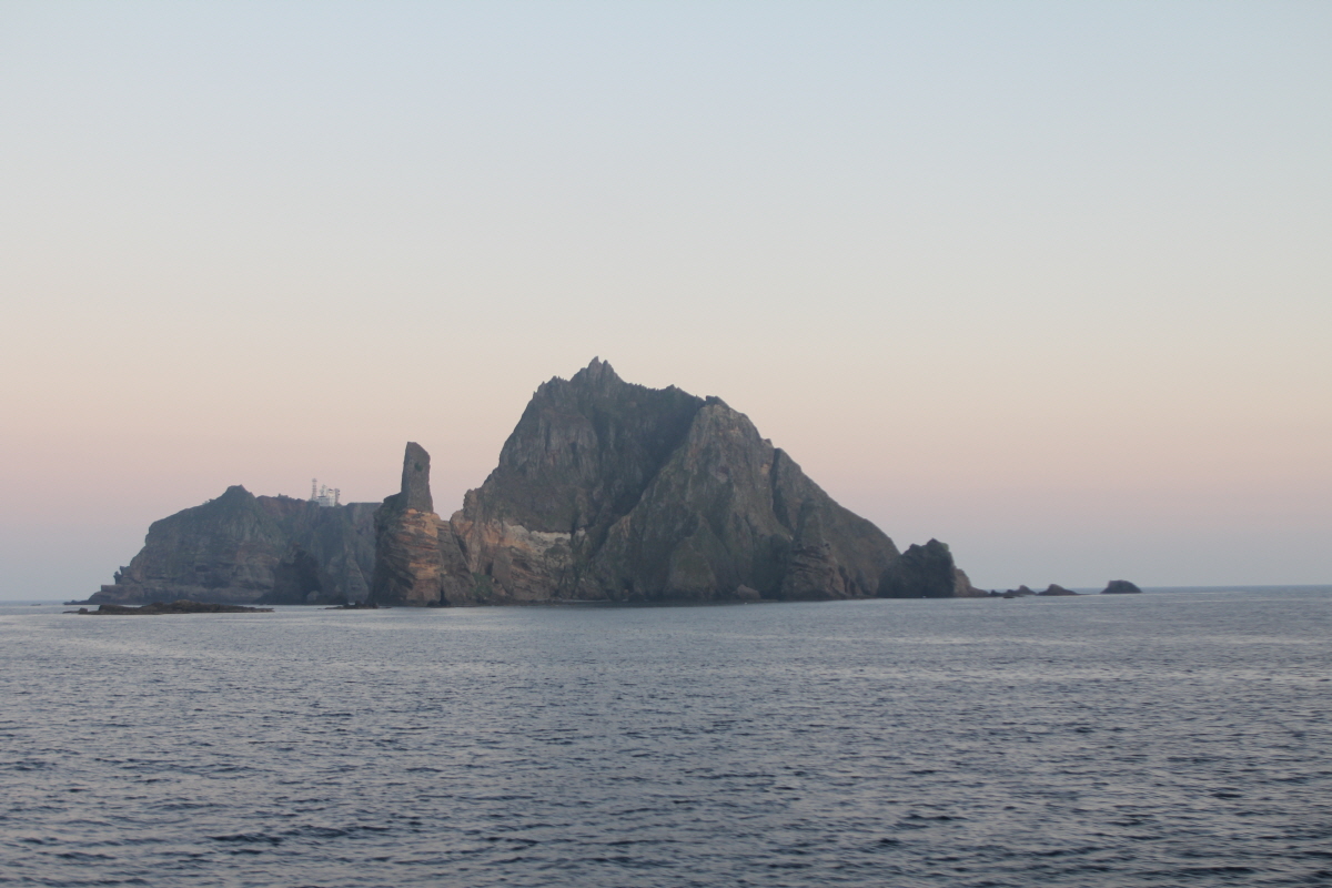
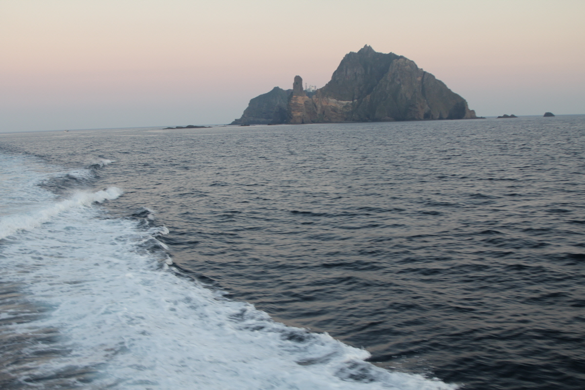
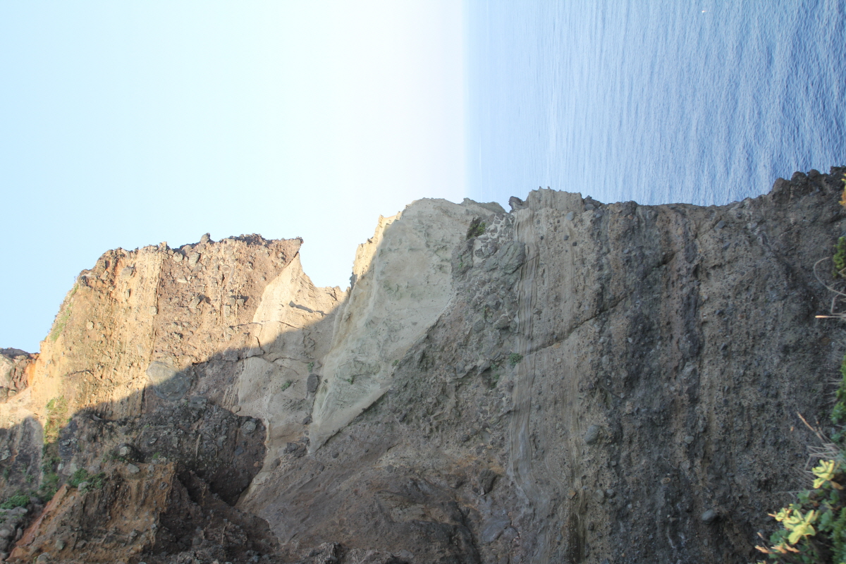
The Dokdo consist of two main islets and numerous surrounding rocks. The two main islets, called Seodo (서도/西島, "Western Island") and Dongdo (동도/東島, "Eastern Island") in Korean,
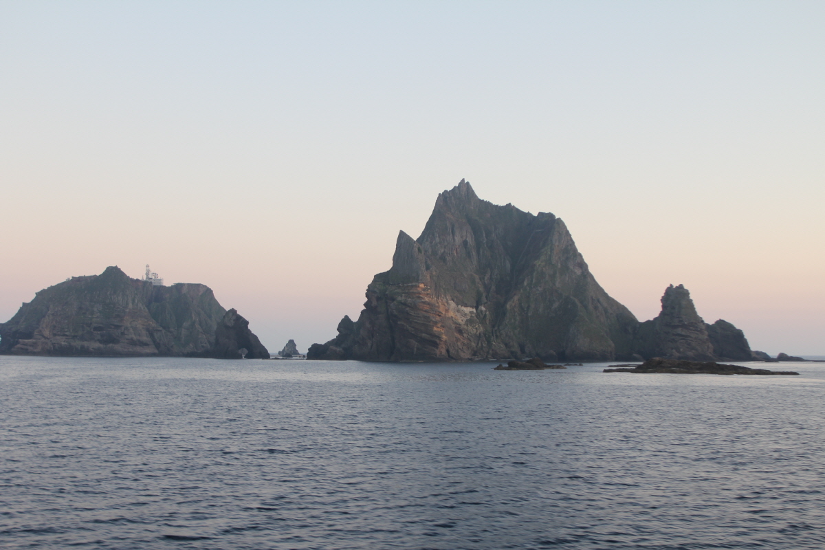
Altogether, there are about 90 islets and reefs, volcanic rocks formed in the Cenozoic era, more specifically 4.6 to 2.0 million years ago. A total of 37 of these islets are recognized as permanent land.
The total area of the islets is about 187,450 square metres (46.32 acres), with their highest point at 169 metres (554 ft) on the West Islet. The West Islet is about 88,640 square metres (21.90 acres); the East Islet is about 73,300 square metres (18.1 acres).
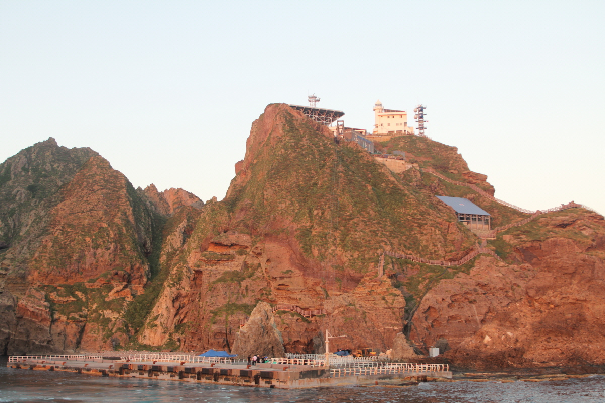
The West Islet consists of a single peak and features many caves along the coastline. The cliffs of the East Islet are about 10 to 20 metres (33 to 66 ft) high. There are two large caves giving access to the sea, as well as a crater.
In 2006, a geologist reported that the islets formed 4.5 million years ago and are quickly eroding.
Distances
Dokdo are located at about 131°52´ East longitude and about 37°14´ North latitude.
The nearest Korean island, Ulleung-do, is at a distance of 87 kilometres (47 nmi), while the distance to the nearest Japanese island, Oki Islands, is 157 kilometres (85 nmi).
Climate
Due to their location and extremely small size, the Dokdo sometimes have harsh weather. At times, ships are unable to dock because of strong northwestern winds in winter. Overall, the climate is warm and humid, and heavily influenced by warm sea currents. Precipitation is high throughout the year (annual average—1,324 millimetres or 52.1 inches), with occasional snowfall. Fog is also a common sight. In the summer, southerly winds dominate. The water around the islets is about 10 °C (50 °F) in spring, when the water is coolest. It warms to about 25 °C (77 °F) in August.
Ecology
The islets are volcanic rocks, with only a thin layer of soil and moss. About 49 plant species, 107 bird species, and 93 insect species have been found to inhabit the islets, in addition to local marine life with 160 algal and 368 invertebrate species identified. Although between 1,100 and 1,200 litres of fresh water flow daily, desalinization plants have been installed on the islets for human consumption because existing spring water suffers from guano contamination. Since the early 1970s trees and some types of flowers were planted. According to historical records, there used to be trees indigenous to Liancourt Rocks, which have supposedly been wiped out by overharvesting and fires caused by bombing drills over the islets. A recent investigation, however, identified ten spindle trees aged 100–120 years.The presence of trees is required under international law for the islets to be recognized as natural islands rather than reefs.
Demographics and economy
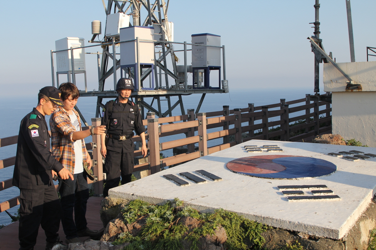
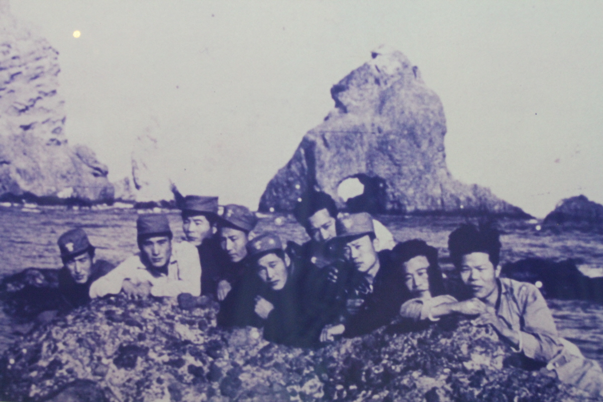
There are two permanent Korean citizens, Kim Sung-do (김성도) and Kim Shin-yeol (김신열), living on the islets, who make a living from fishing. In addition to these residents, there are 37 South Korean police officers (독도경비대/獨島警備隊) who take residence on guard duty. There are also three Ministry of Maritime Affairs and Fisheries personnel, and three lighthouse keepers living on the islets in rotation. In the past, several fishermen also lived on the islets temporarily.
For many years, civilian travel was subject to Korean government approval because the islet group is designated as a nature reserve. Tourist boats carrying 1,597 visitors were allowed to land in 2004. Since mid-March 2005, more tourists have been allowed to land; up to 70 tourists are permitted at any one time. One ferry provides rides to the islets every day, and reportedly has a long waiting list. Around 60% of visitors on the ferry are allowed to land in port on the East Islet while the rest are given a tour around the islets. Tour companies charge around 350,000 Korean won per person (approx. 250 US dollars as of 2009)
Construction
South Korea have carried out much construction work on Dokdo. Today, the islands house a lighthouse, a helicopter pad, a large South Korean flag visible from the air, a post box, a staircase, and police barracks. In 2007, two desalinization plants were built capable of producing 28 tons of clean water every day. Both of the major Korean telephone companies have installed cell phone towers on the islets.
Ulleungdo Dispute and Confirmation of Korea Sovereignty over Dokdo
While
illegally fishing in Ulleungdo, a territory of Joseon (Korea), the Ohya and Murakawa families of Tottori-han (feudal clan of Tottori) of Japan had a run-in with Korean fishermen, including An Yong-bok, in 1693.The
two Japanese families petitioned the Japanese government (Edo shogunate) to prohibit Koreans?passage to Ulleungdo. The Edo shogunate ordered Tsushima to negotiate with the Joseon government. Thus began the negotiations between the two countries referred to as the 밬lleungdo Dispute.?The
Edo shogunate sent an inquiry to Tottori-han on December 25, 1695. Upon receiving Tottori-han뭩 response that neither Ulleungdo (known then in Japan as Takeshima) nor Dokdo (known then in Japan as Matsushima) belonged to Tottori-han, the Edo shogunate issued a directive on January 28, 1696, prohibiting all Japanese from making passage towards Ulleungdo.The
dispute between Korea and Japan thus came to a close. Through the Ulleungdo Dispute, Ulleungdo and Dokdo were confirmed to be Korean territory.Japan
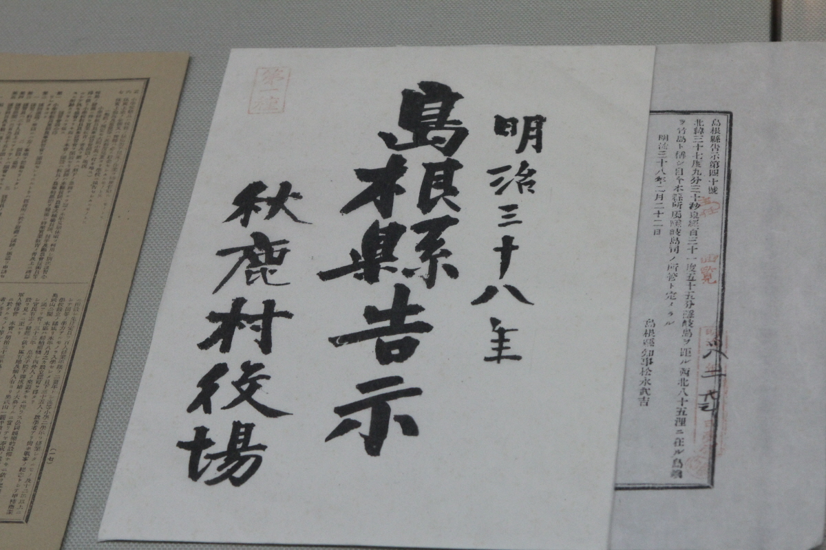
tried to incorporate Dokdo into its own territory in 1905 through Shimane Prefecture Public Notice No. 40.At
the time, Japan was at war with Russia over its interests in Manchuria and the Korean peninsula. Japan had forced the Empire of Korea to sign the Korea-Japan Protocol in February 1904 to secure unlimited access to Korean territory in the execution of the Russo-Japanese War. Japan뭩 attempt at turning Dokdo into Japanese territory was also aimed at meeting its military needs in the face of possible maritime clashes with Russia.Japan
had also coerced the Korean government to appoint Japanese and other non- Korean nationals as advisors through the First Korea-Japan Agreement in August 1904. In effect, Japan had been systematically implementing its plan to take over Korea even before the forced annexation in 1910.Dokdo
was the first Korean territory to fall victim to the Japanese aggression against Korea. Japan뭩 attempt at incorporating Dokdo in 1905 through Shimane Prefecture Public Notice No. 40 was not only an illegal act that infringed upon Korea뭩 ancient and undeniable sovereignty over the island, but also null and void under international law.
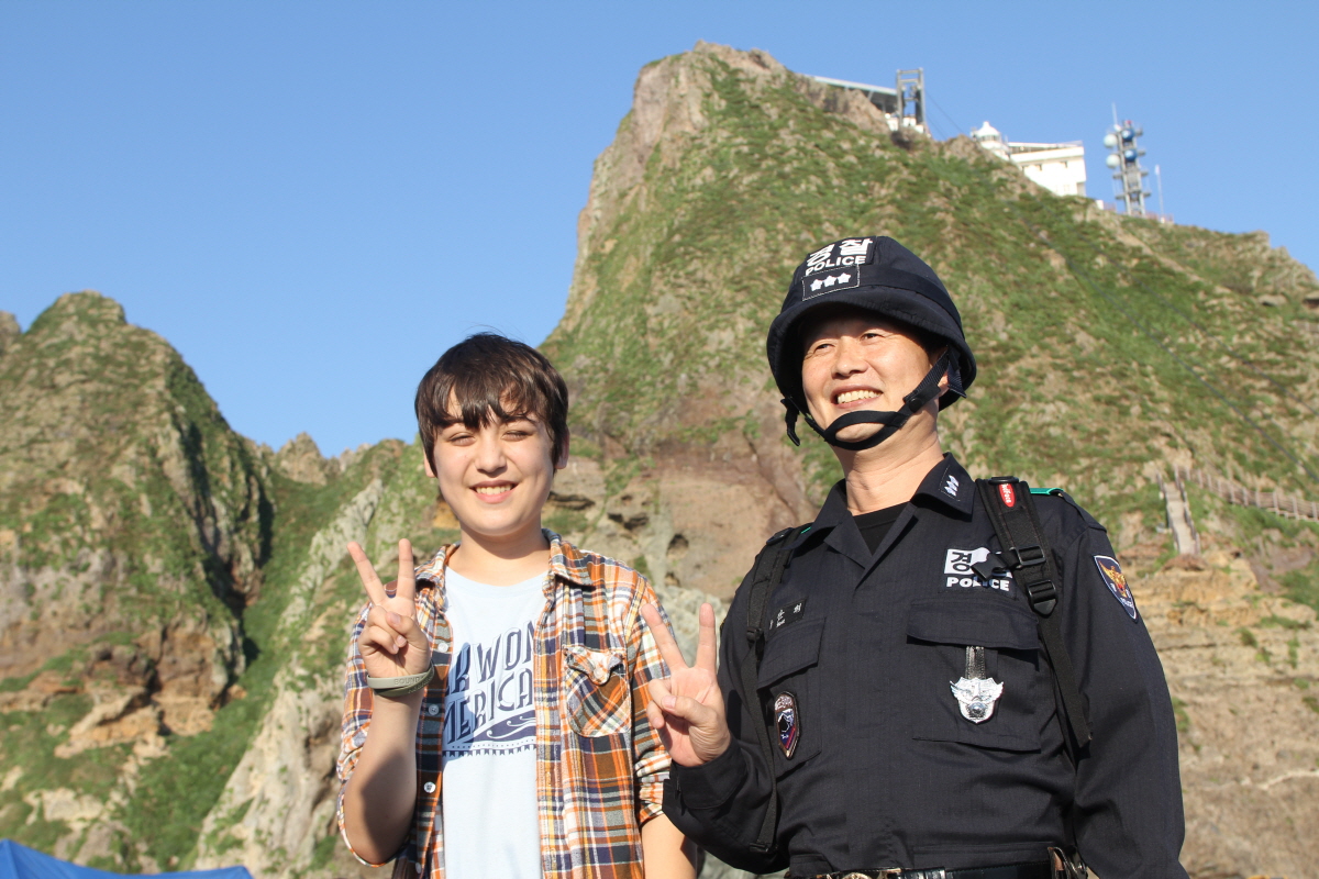
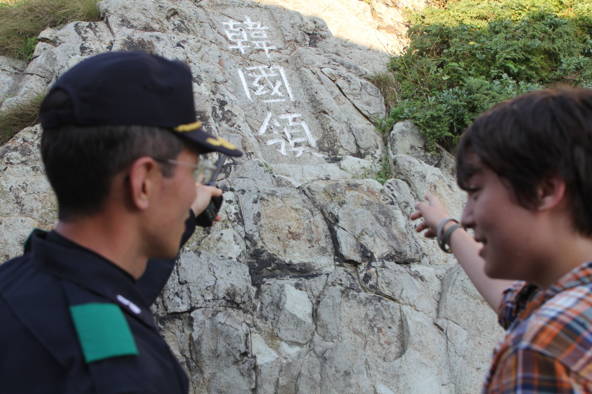
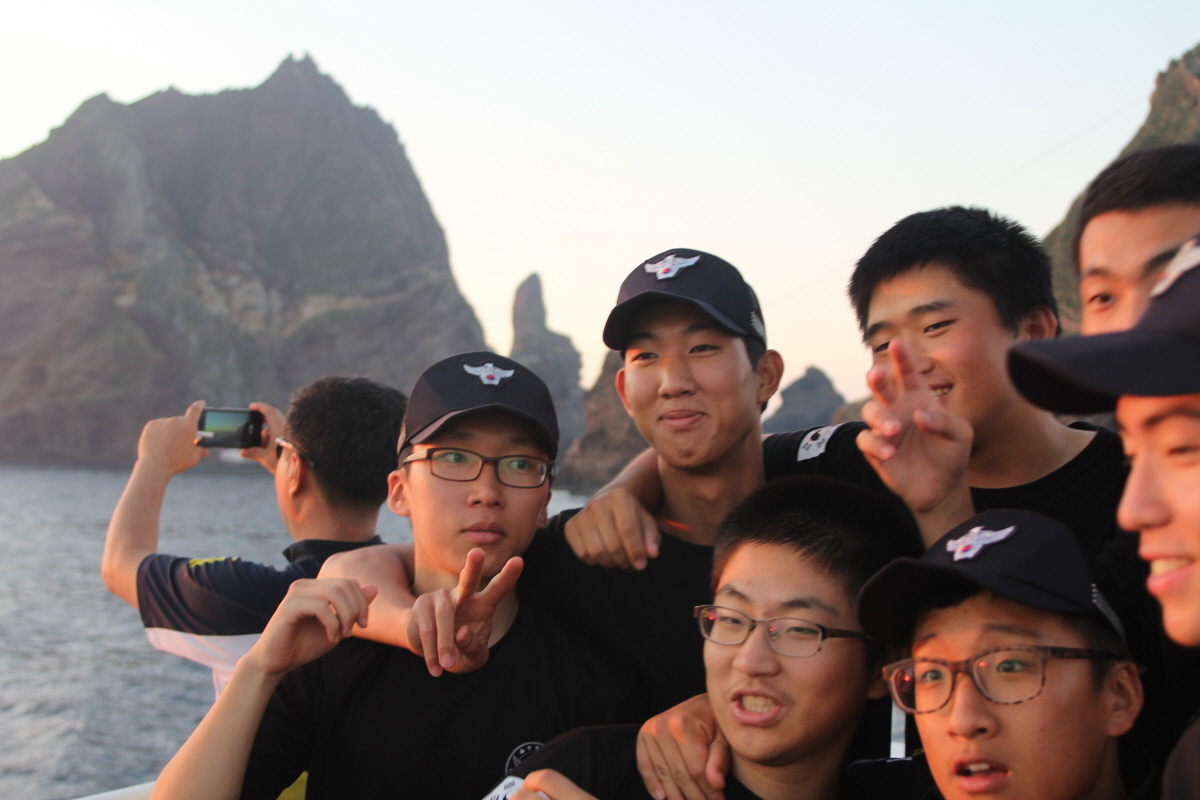
Dokdo Green Ambassador Jonathan Lee(15)

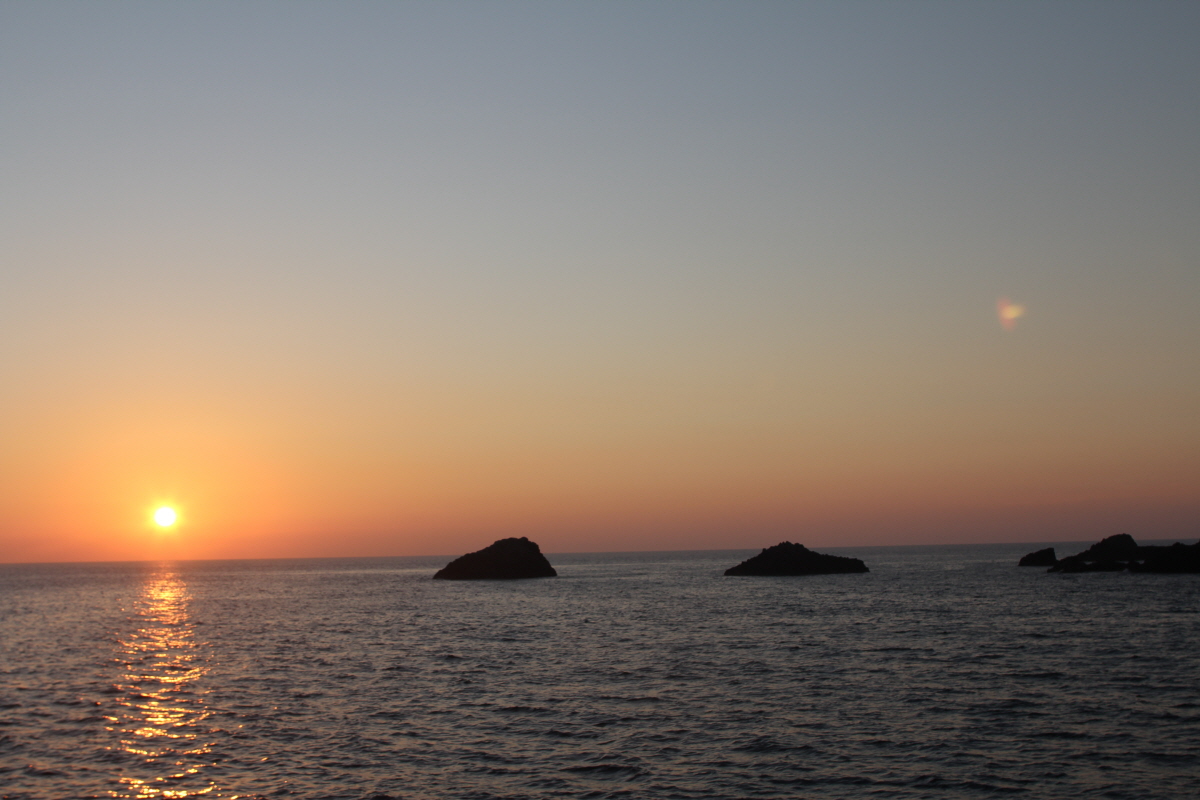
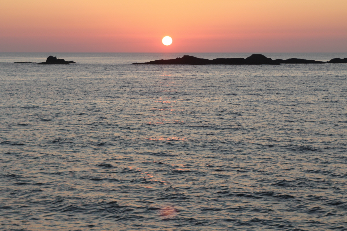
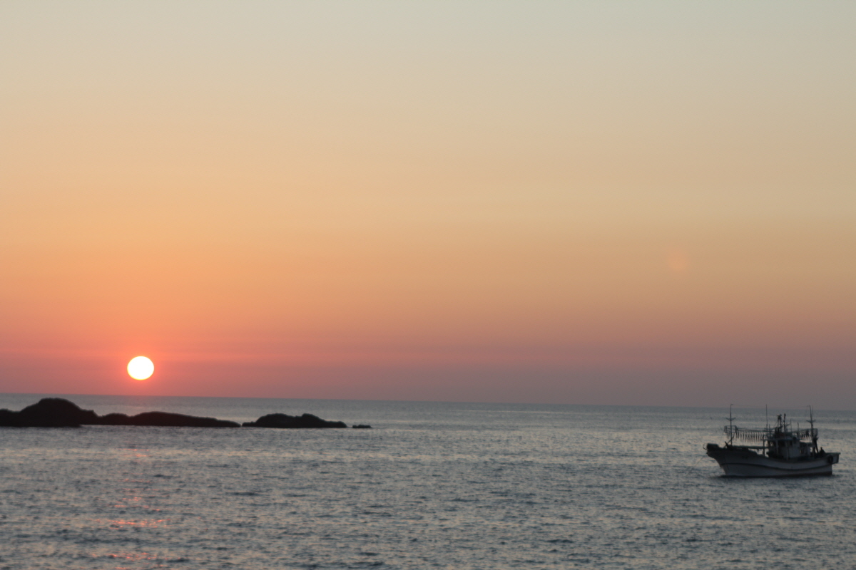
Sunset in Dokdo Island


*Information from South Korean government and Wikipedia.


