|

Geography
Situated on the
crossroads of South Asia, the Middle East and Central Asia,
Pakistan is a beautiful country with a unique history and cultural
heritage. Pakistan was the site for one of the world's earliest
human settlements: the great prehistoric Indus Valley
Civilization, the crucible of ancient empires, religions and
cultures.
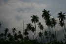
The land of Pakistan ranges from lofty mountains in the
north, the Karakoram and the Himalayas, through dissected plateaus
to the rich alluvial plains of the Punjab. Then follows the
desolate barrenness of Baluchistan and the hot, dry deserts of
Sindh blending into miles and miles of golden beaches of Makran
coast.
Pakistan has three
major geographic areas: northern highlands, Indus River plain, and
Balochistan Plateau. The climate is for the most part
arid. Pakistan has hot summers and cool to cold
winters. Rainfall is not abundant and there are great
variations in temperature from the Arabian Sea coastal areas to
the colder northern regions.
Pakistan is quite
large at 803,943 sq. km. (310,527 sq. mi.), which is almost twice
the size of the state of California in the United States.
The major cities in Pakistan are the capital (Islamabad) with a
population of 800,000, adjacent Rawalpindi (1,406, 214),Karachi
(11,624,219) (2005 est.), Lahore (6,310,888) (2005 est.),
Faisalabad (1,977,246) and Hyderabad (1,151,274).

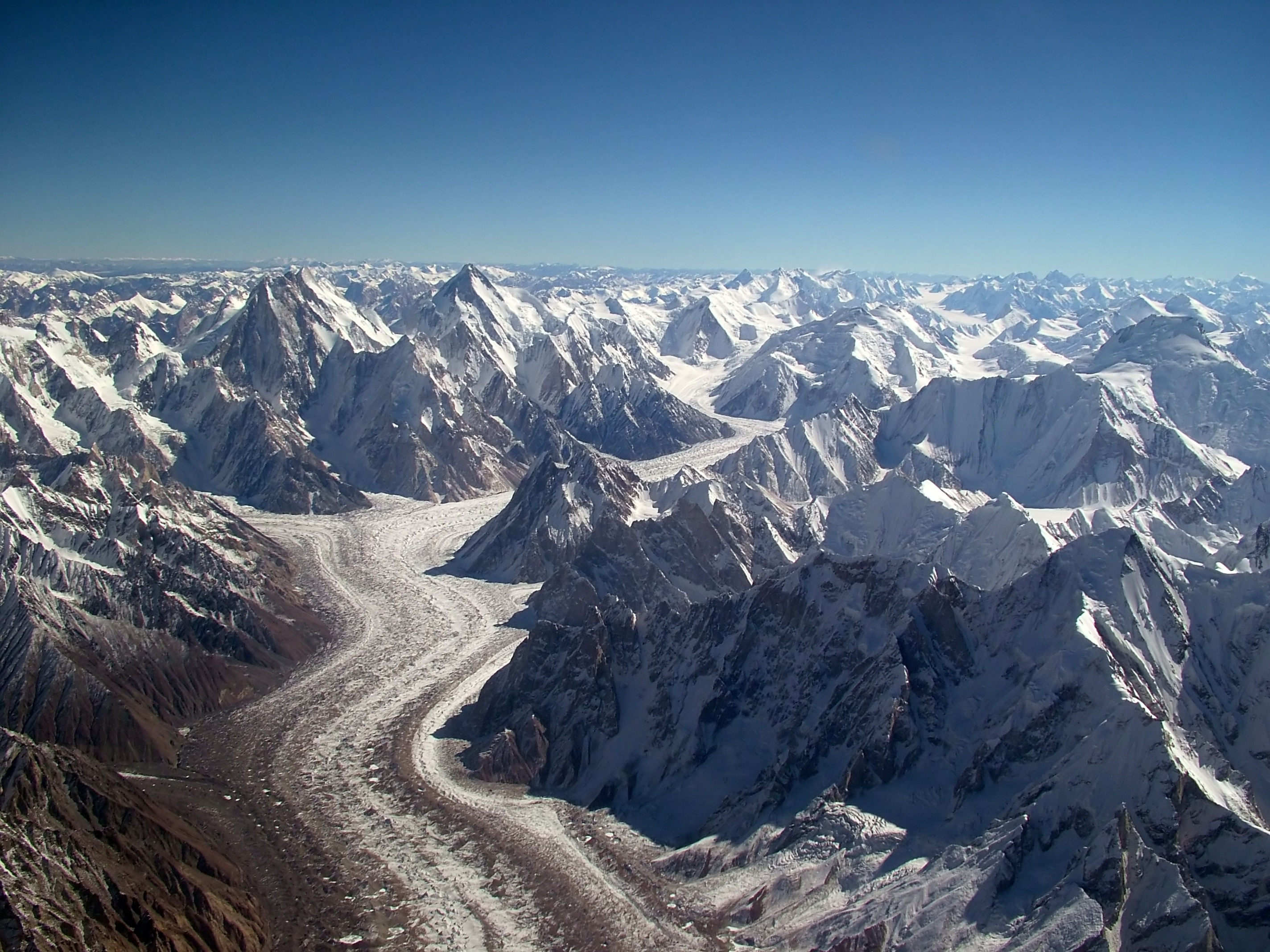
Baltoro
glacier(wikipedia)
CIA Facts
|
Location:
|
|
Southern Asia,
bordering the Arabian Sea, between India on the
east and Iran and Afghanistan on the west and
China in the north
|
|
|
Geographic
coordinates:
|
|
30 00 N, 70 00
E
|
|
|
|
Area:
|
|
total: 796,095
sq km
country
comparison to the world: 36
land: 770,875
sq km
water: 25,220
sq km
|
|
|
Area -
comparative:
|
|
slightly less
than twice the size of California
|
|
|
Land
boundaries:
|
|
total: 6,774
km
border
countries: Afghanistan
2,430 km, China 523 km, India 2,912 km, Iran 909
km
|
|
|
Coastline:
|
|
1,046 km
|
|
|
Maritime
claims:
|
|
territorial
sea: 12
nm
contiguous
zone: 24
nm
exclusive
economic zone: 200
nm
continental
shelf: 200
nm or to the edge of the continental margin
|
|
|
Climate:
|
| Current
Weather
mostly hot, dry
desert; temperate in northwest; arctic in north
|
|
|
Terrain:
|
|
flat Indus
plain in east; mountains in north and northwest;
Balochistan plateau in west
|
|
|
Elevation
extremes:
|
|
lowest point: Indian
Ocean 0 m
highest point: K2
(Mt. Godwin-Austen) 8,611 m
|
|
|
Natural
resources:
|
|
land, extensive
natural gas reserves, limited petroleum, poor
quality coal, iron ore, copper, salt, limestone
|
|
|
Land use:
|
|
arable land: 24.44%
permanent
crops: 0.84%
other: 74.72%
(2005)
|
|
|
Irrigated
land:
|
|
182,300 sq km
(2003)
|
|
|
Total
renewable water resources:
|
|
233.8 cu km
(2003)
|
|
|
Freshwater
withdrawal (domestic/industrial/agricultural):
|
|
total: 169.39
cu km/yr (2%/2%/96%)
per capita: 1,072
cu m/yr (2000)
|
|
|
Natural
hazards:
|
|
frequent
earthquakes, occasionally severe especially in
north and west; flooding along the Indus after
heavy rains (July and August)
|
|
|
Environment
- current issues:
|
|
water pollution
from raw sewage, industrial wastes, and
agricultural runoff; limited natural fresh water
resources; most of the population does not have
access to potable water; deforestation; soil
erosion; desertification
|
|
|
Environment
- international agreements:
|
|
party to: Biodiversity,
Climate Change, Climate Change-Kyoto Protocol,
Desertification, Endangered Species, Environmental
Modification, Hazardous Wastes, Law of the Sea,
Marine Dumping, Ozone Layer Protection, Ship
Pollution, Wetlands
signed, but not
ratified: Marine
Life Conservation
|
|
|
Geography -
note:
|
|
controls Khyber
Pass and Bolan Pass, traditional invasion routes
between Central Asia and the Indian Subcontinent
|
|