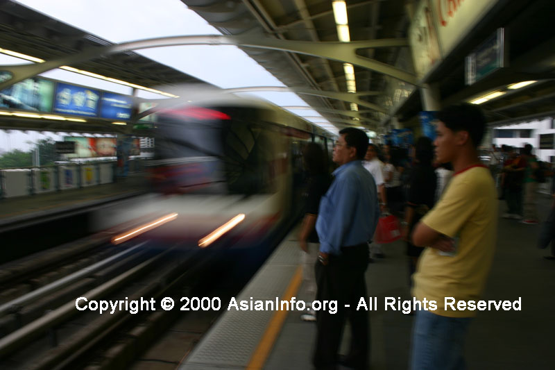
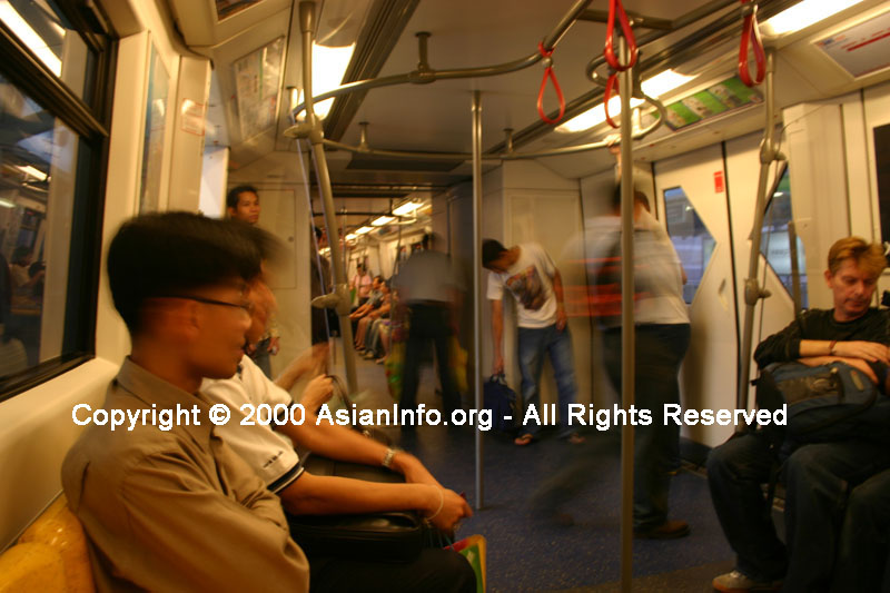
The
state owns the Thai railroad system and it runs along a total of 3870 km of
track. There is a network of railway lines that go from Bangkok to
surrounding cities in all directions. It goes to Chiang Mai in the north
to the frontier of Malaysia in the south. There is another line available
that extends to Myanmar in the northwest.
The
highways in Thailand were improved upon in the 1970s and are comprised of roads
totaling about 65,000 km. An important alternative to the highways is the
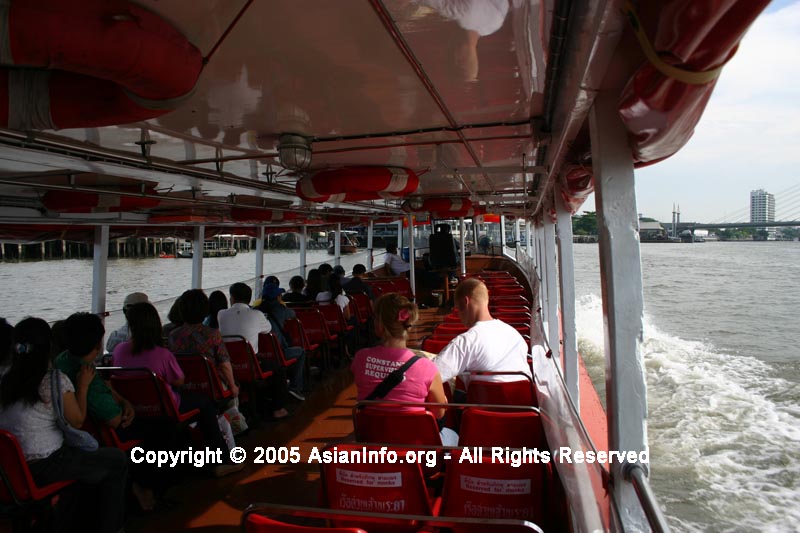
Chao Phraya, the most important inland waterway in Thailand, which can be
navigated to about 50 miles from its mouth (80 km).
Thailand's
largest airport is the Don Muang International Airport located in northern
Bangkok, but may be surpassed by another international airport in the process of
being built in Bangkok, which is expected to be completed sometime around the
year 2000. Thailand's airline, Thai Airways offers both domestic and
international flights.
Airports:
105
(2010)
country
comparison to the world:55
Airports
- with paved runways:
total:
64
over
3,047 m: 8
2,438
to 3,047 m: 11
1,524
to 2,437 m: 24
914 to
1,523 m: 15
under
914 m: 6
(2010)
Airports
- with unpaved runways:
total:
41
1,524
to 2,437 m: 1
914 to
1,523 m: 13
under
914 m: 27
(2010)
Heliports:
4
(2010)
Pipelines:
gas
1,348 km; refined products 323 km (2009)
Railways:
total:
4,071
km
country
comparison to the world:41
standard
gauge: 29
km 1.435-m gauge
narrow
gauge: 4,042
km 1.000-m gauge (2008)
Roadways:
total:
180,053
km (includes 450 km of expressways) (2006)
country
comparison to the world:27
Waterways:
4,000
km
country
comparison to the world:27
note:3,701
km navigable by boats with drafts up to 0.9 m
(2010)
Merchant
marine:
total:
382
country
comparison to the world:27
by
type: bulk
carrier 30, cargo 116, chemical tanker 23,
container 19, liquefied gas 36, passenger 1,
passenger/cargo 10, petroleum tanker 120,
refrigerated cargo 27
foreign-owned:
15
(China 1, Hong Kong 1, Japan 2, Malaysia 3,
Singapore 1, Taiwan 1, UK 6)
registered
in other countries: 41
(Bahamas 4, Panama 6, Singapore 30, Tuvalu 1)
(2010)
Ports
and terminals:
Bangkok,
Laem Chabang, Map Ta Phut, Prachuap Port, Si Racha
Disclaimer:
AsianInfo.org
does not guarantee the complete accuracy of the information provided on
this site or links. Do your own research and get a professional's
opinion before adhering to advice or information contained herein.
Use of the information contained herein provided by AsianInfo.org and
any mistakes contained within are at the individual risk of the user.
(We
do not provide links to, or knowingly promote, any violent or pornographic
sites.)