Thailand,
known for centuries as Siam, is now officially known as the Kingdom of
Thailand. Thailand is found in Southeast Asia surrounded by Myanmar to its
north and west, Laos on its northeast, Cambodia and the Gulf of Thailand on its
southeast and by Malaysia and Myanmar on its south and southwest, respectively.
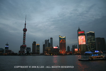
The
largest city in Thailand is Bangkok, with about 5.5 million people living there
in 1992. In addition to being the largest city, Bangkok has the
distinction of being the capital of Thailand as well as the chief seaport.
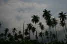
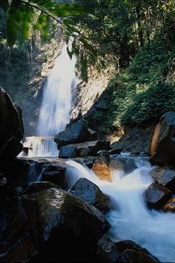
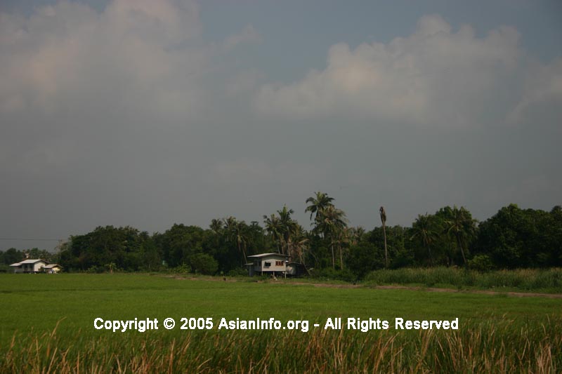
Dominating
Thailand's terrain are mountainous areas, which can be found all through the
country. Taking up a third of Thailand is the Khorat Plateau, a flat,
barren plateau that borders the Mekong River valley. The main river in
Thailand, Chao Phraya, goes through an alluvial plain that is sandwiched between
the central and western mountains. This plain, along with a fertile delta
near Bangkok, which was created by the Chao Phraya, is the most productive
agricultural part of Thailand, and is the most densely populated.
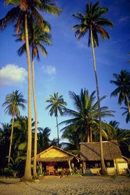
Monsoon
winds have an impact on Thailand's tropical climate. When the winds come
from the southwest, the temperatures are usually a little higher and more humid
(ranging from 78 -98 degrees F), while the northeastern winds bring the
temperature down a little (ranging from 56 - 92 degrees F). Rainfall is
more likely during the summer months of June through October, and the average
rainfall varies from region to region. In the northern, central and
western regions, about 1500 mm is expected, while the Thai section of the Malay
peninsula usually gets over 2500 mm. The Khorat Plateau gets the least
rainfall with about 1270 mm or less per year.
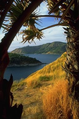
Location:
Southeastern
Asia, bordering the Andaman Sea and the Gulf of
Thailand, southeast of Burma
Geographic
coordinates:
15 00
N, 100 00 E
Map
references:
Southeast
Asia
Area:
total:
513,120
sq km
country
comparison to the world:50
land: 510,890
sq km
water:
2,230
sq km
Area
- comparative:
slightly
more than twice the size of Wyoming
Land
boundaries:
total:
4,863
km
border
countries: Burma
1,800 km, Cambodia 803 km, Laos 1,754 km, Malaysia
506 km
Coastline:
3,219
km
Maritime
claims:
territorial
sea: 12
nm
exclusive
economic zone: 200
nm
continental
shelf: 200
m depth or to the depth of exploitation
Climate:
Current
Weather
tropical;
rainy, warm, cloudy southwest monsoon (mid-May to
September); dry, cool northeast monsoon (November
to mid-March); southern isthmus always hot and
humid
Terrain:
central
plain; Khorat Plateau in the east; mountains
elsewhere
land
subsidence in Bangkok area resulting from the
depletion of the water table; droughts
Environment
- current issues:
air
pollution from vehicle emissions; water pollution
from organic and factory wastes; deforestation;
soil erosion; wildlife populations threatened by
illegal hunting
Environment
- international agreements:
party
to: Biodiversity,
Climate Change, Climate Change-Kyoto Protocol,
Desertification, Endangered Species, Hazardous
Wastes, Marine Life Conservation, Ozone Layer
Protection, Tropical Timber 83, Tropical Timber
94, Wetlands
signed,
but not ratified: Law
of the Sea
Geography
- note:
controls
only land route from Asia to Malaysia and
Singapore
Disclaimer:
AsianInfo.org
does not guarantee the complete accuracy of the information provided on
this site or links. Do your own research and get a professional's
opinion before adhering to advice or information contained herein.
Use of the information contained herein provided by AsianInfo.org and
any mistakes contained within are at the individual risk of the user.
(We
do not provide links to, or knowingly promote, any violent or pornographic
sites.)